
ViaMichelin generates a detailed route with toll costs, fuel estimates, and waypoints, but retrieving this route for use on a third-party GPS or mapping software remains a point of friction. The tool does not offer native export in GPX or KML format from its standard web interface, which forces users to resort to indirect methods.
Extracting the ViaMichelin route without native GPX export
ViaMichelin does not include a direct export button to formats usable by standalone GPS devices (Garmin, TomTom) or third-party applications like OsmAnd. This absence is an architectural choice: the service relies on a proprietary mapping engine linked to Michelin data, and the calculated route remains encapsulated within the interface.
We recommend distinguishing between two scenarios. The first concerns users who simply want to transfer a route to a smartphone for navigation. The second targets those who need a GPX or KML file to integrate into a hiking GPS, fleet management software, or a tool like Google Earth.
For the first case, the most reliable method is to recalculate the car route on ViaMichelin directly from the mobile app, which then allows for launching the integrated GPS navigation. The route remains within the ViaMichelin ecosystem, but it becomes usable in real-time.
For the second case, a manual reconstruction of the route is necessary. The approach involves noting the waypoints (starting city, intermediate stops, destination) from ViaMichelin, and then entering them into a dedicated GPX editor. Tools like GPX Edit Pro allow you to create a file from scratch by placing waypoints on an OpenStreetMap map.
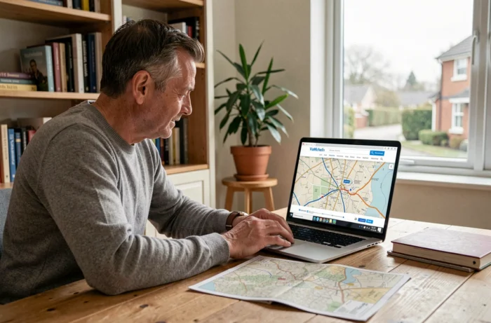
Converting ViaMichelin route to a usable GPX file
Reconstructing a ViaMichelin route in GPX involves an input step for the coordinates. Each waypoint must be manually entered into the GPX editor, which requires precision for routes with many stops.
Here is the procedure we use:
- Calculate the complete route on ViaMichelin in car mode, adding all desired intermediate stops (stopover cities, fuel stops, tourist points from Discovery mode).
- Note the addresses or GPS coordinates of each waypoint displayed in the route summary, accessible via the printable itinerary sheet.
- Open an online GPX editor (GPX Edit Pro or equivalent) and place these points on the map, then connect the segments in automatic routing mode to obtain a coherent road route.
- Export the file in GPX format, compatible with Garmin Connect, BaseCamp, or any navigation application that accepts this standard.
This method has a limitation: the reconstructed route will follow the routing of the GPX editor (generally based on OpenStreetMap), which may differ slightly from the ViaMichelin calculation, particularly regarding the choice between highways and secondary roads.
Preserving the Discovery mode in the exported file
Since the redesign in May 2024, the Discovery mode of ViaMichelin favors scenic secondary roads based on the editorial content of the Michelin Guides. This mode generates routes that pass through villages and referenced sites, making GPX reconstruction more complex.
To maintain this spirit in the exported file, it is necessary to multiply the intermediate waypoints. A Discovery route from Paris to Lyon may include about ten detours that the standard routing of a GPX editor will not spontaneously replicate. We systematically add a waypoint every 30 to 50 km on this type of route to force the GPS to take the same secondary roads.
ViaMichelin and built-in GPS: compatibility and technical limits
A few years ago, ViaMichelin offered a link to send a route directly to a GPS connected via USB. This feature has been removed and has not been replaced by a modern equivalent. Discussions in GPS communities confirm this disappearance without an official alternative.
The ViaMichelin mobile app operates in standalone navigation, but it does not communicate with the built-in GPS of vehicles (Android Auto, Apple CarPlay). The route remains confined to the app itself. For transport professionals managing fleets, this limitation is a real drawback compared to solutions like Waze or Google Maps, whose routes integrate natively with built-in systems.
The premium version, available via an annual subscription, adds offline maps and ad removal, but does not unlock GPX export. The interest of this version focuses on use in areas with weak network coverage, where pre-downloading maps prevents navigation interruptions.
Alternatives for exporting a route calculated with Michelin data
A hybrid approach yields better results than manual reconstruction. It involves using ViaMichelin solely for budget planning (toll costs, fuel estimates based on the vehicle) and generating the navigation file in a tool that supports native export.
Google Maps allows exporting a list of saved places in GeoJSON or CSV format via Google Takeout, but not a complete road route in GPX. Specialized services like Export My Map convert saved places in Google Maps into usable GPX files.
For motorcyclists and drivers planning road trips, the combination of ViaMichelin (budget and cost estimation) + GPX editor (exportable route) remains the most reliable method. ViaMichelin excels in detailed cost calculations, an area where competitors do not offer the same level of precision on tolls and consumption by vehicle model.
The choice boils down to a trade-off between the richness of Michelin data (starred restaurants, accommodations, detailed costs) and the portability of the file. As long as ViaMichelin does not restore an export function, this dual input will remain the norm for demanding users.